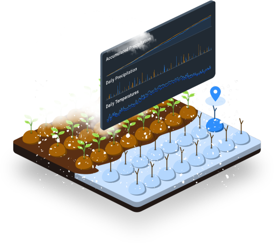
Will it snow at my farm?

Do I need Map My Crop?
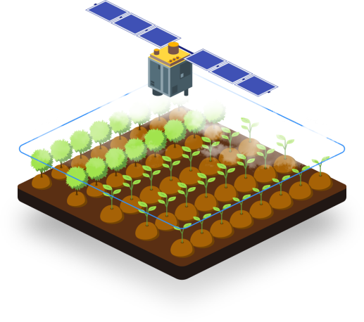
We at MapMyCrop, believe in making simple yet deliver solution to improve crop output, reduce crop loss and help in taking mitigation steps.

Will hailstorm affect my crop?
What is current Quality of my crop?
What will be my crop yield ?
When should I Harvest crop this year?
What is the current soil nutrient?
What is my current soil temp?
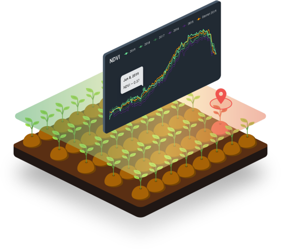
Why the Crop Health is changing?
How to allocate task to my farm workers?

For Farming
– Mobile technology farm management
– Crops development observation
– Weather monitoring
– Field works planning
– Field losses prevention
– Harvest prediction
– Reporting on results

For Insurance
– Historical climate/weather Data
– Farming record keeping
– Weather risk assessment
– Crop yields prediction
– Land use monitoring
– Field’s vegetation assessment based on historical data

For Trading
– Regions attractiveness assessment in the context of agro-products delivery
– Daily weather conditions monitoring for risk prevention management
– Logistics spending plan
– Crop yields prediction
– Crops growth and crop yields prediction conditions monitoring
– Land use efficiency monitoring